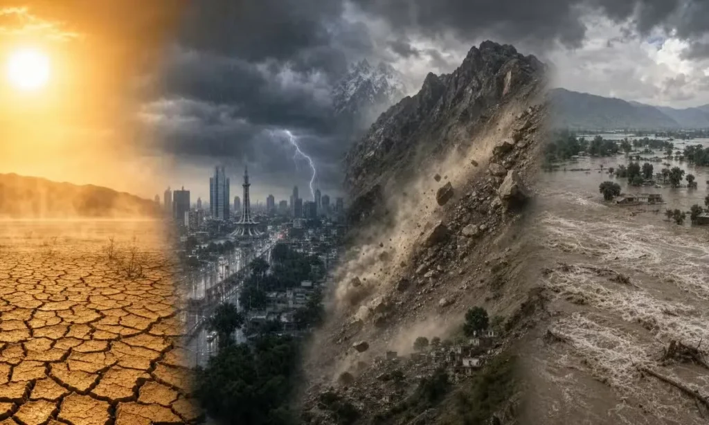
A strengthening El Nino could become one of the most powerful events recorded since at least 1950, with the phenomenon expected to reach its peak in December and continue influencing global weather into early 2027.
The World Meteorological Organization (WMO) warned that the developing event could bring above-normal temperatures across large parts of the world while disrupting established rainfall patterns. Some regions could face increased drought risks, while others may experience heavier rainfall and flooding. El Nino Could Become One of Strongest on Record as It Peaks in December.
El Nino Likely to Continue Into 2027
The WMO said its latest assessment, based on forecasts from 13 leading meteorological centres, gives an almost 100% probability that El Nino will persist through February 2027.
Sea-surface temperatures across the central and eastern equatorial Pacific are forecast to reach around 3.7°C above normal between October and December.
If that forecast materialises, the event would surpass the previous record of about 2.6°C above normal recorded during the 2015-16 El Nino.
The strength of the current event is being closely watched because El Nino can influence atmospheric circulation far beyond the Pacific Ocean, affecting temperatures and rainfall patterns across different regions.
WMO Warns of Additional Global Warming
WMO Secretary-General Celeste Saulo said El Nino does not create additional heat but releases heat already stored in the ocean into the atmosphere.
That process could have a significant effect because global ocean temperatures are already at exceptionally high levels, leaving more stored heat available to move into the atmosphere.
The resulting warming does not necessarily peak at the same time as El Nino itself. Global temperatures can continue rising after the Pacific event reaches its strongest point because the atmospheric response often follows with a delay.
Drought and Flood Risks Could Increase
El Nino develops when surface waters in the central and eastern equatorial Pacific become unusually warm. The change affects atmospheric circulation, winds and rainfall patterns across the globe.
The phenomenon typically occurs every two to seven years and generally lasts between nine and 12 months, although its effects can extend beyond the event itself. El Nino Could Become One of Strongest on Record as It Peaks in December.
Some impacts are already being reported. In parts of Central America, drought conditions have damaged crops and contributed to livestock losses, adding pressure on farming communities.
Other regions could face excessive rainfall and flooding as weather patterns shift.
For countries such as Pakistan, the evolving El Nino could make seasonal weather forecasts particularly important. Changes in rainfall and temperatures may affect agriculture, water availability and preparations for extreme weather, although the exact impact will depend on how the event develops in the coming months.
