A flash flood warning was issued early Monday for Topeka and surrounding areas as intense thunderstorms dumped heavy rain across northeast Kansas.
The National Weather Service issued the warning at 4:29 a.m., placing it in effect until 7:30 a.m. Doppler radar showed strong storms moving through the region, producing rainfall rates high enough to trigger rapid flooding.
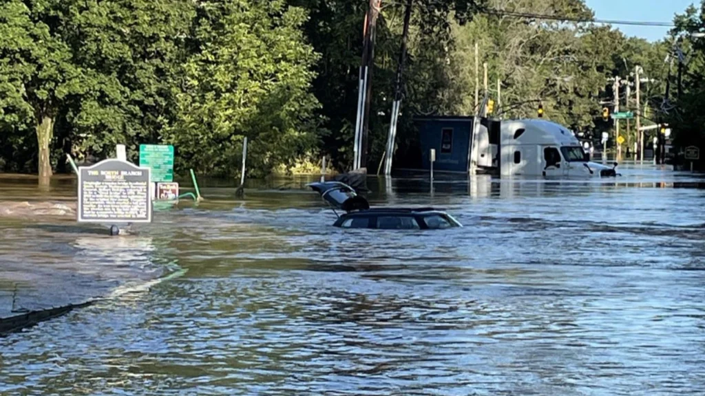
Forecasters said 2 to 4 inches of rain had already fallen by early morning, with another 1 to 3 inches possible before the system moves out. As a result, flash flooding was either already underway or expected to develop quickly.
The warning covers a wide area, including Shawnee County, Jefferson County, Geary County, parts of Wabaunsee, Dickinson, Morris, Pottawatomie, Riley, Jackson, and Douglas counties. Urban locations, low-lying areas, small creeks and streams, underpasses, and poorly drained roads are especially vulnerable.
Communities expected to see flooding impacts include Topeka, Lawrence, Valley Falls, Rossville, Oskaloosa, Tecumseh, Silver Lake, Auburn, Perry, McLouth, Meriden, Hoyt, Ozawkie, Lecompton, Winchester, Mayetta, Junction City, Wamego, Alma, St. Marys, Alta Vista, Eskridge, Maple Hill, Denison and Delia.
Travel disruptions are also likely. Flooding may affect Interstate 70 between mile markers 337 and 355, as well as the Kansas Turnpike between mile markers 170 and 205.
Officials urged residents to avoid flooded roadways and to never attempt to drive through standing water, as conditions can change rapidly during flash flood events.
